Length: 11.4 km
Duration: approximately 3.30 hours
Difference in altitude: +284 m / -283 m
Elevation: max. 517 / min. 245
Difficulty: E
The route starts from the car park near the Museo Civico Diocesano di Santa Maria dei Servi, where the fragmentary Deposizione della croce by Perugino (1517) is preserved. You first enter Corso Garibaldi and then Strada del Cavacchione, which corresponds to the Umbrian section of the Via Romea Germanica, a historic route undertaken by Abbot Alberto of the Benedictine monastery of Stade who, in 1232, had gone to Rome to ask Pope Gregory IX to reform the rule of his monastery. After this trip, Alberto had dedicated himself to writing the Annales Stadendes, a chronicle of the most important ecclesiastical and political events of his time. The work contains a dialogue between two monks, Tirri and Firri, who discuss the best routes for making a pilgrimage to the City. Various itineraries are provided, with precise data on the places and distances to be crossed, on the condition of the roads and on the length of the individual stages. All this is today translated into the 94 stages of the Way that, from Stade, enters Italy from the Brenner Pass and crosses Trentino Alto-Adige, Veneto, Emilia Romagna, Tuscany, Umbria and Lazio to reach Rome.
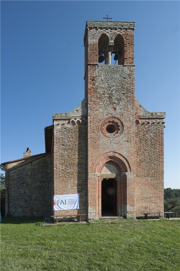
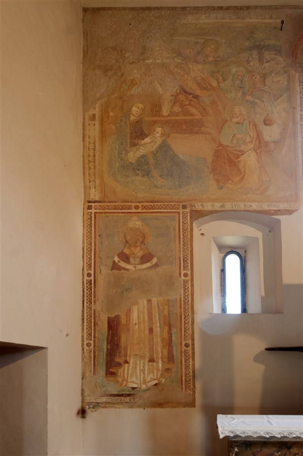
Of the four Umbrian stages (Pozzuolo-Paciano, Paciano-Città della Pieve, Città della Pieve-Ficulle and Ficulle-Orvieto), we travel the 4.2 km of the tree-lined dirt road that, from Città della Pieve, reaches Ponticelli (Città della Pieve-Ficulle stage). About halfway along the route, the Franciscan church of the Madonna degli Angeli, registered among the assets of the FAI and dating back to the 13th century, is worth a stop. It is a country church in Pievese terracotta, with a single nave, which houses frescoes from the 14th-15th century of the Umbrian-Tuscan school.

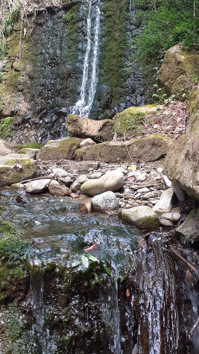
We continue to the hamlet of Ponticelli and take the road that starts from the Public Gardens, running alongside the railway. We continue for 1.6 km until we take the dirt road on the right and, shortly after, the one on the left. We continue for another 400 meters or so and then take the signs for path 1 of San Salvatico: in particular, we will keep to the right to enter the thick vegetation of the Molinella ditch and then of San Salvatico, a cliff once included in the medieval city walls of Città della Pieve.
We are in fact at the foot of the city and, completing the climb, we will find ourselves near the P. Vannucci comprehensive institute. We head towards the historic center and, taking via del Barbacane and continuing in the direction of the Church of Gesù. We return to the starting point, running alongside Palazzo Orca.
ASD Trekkify
Latest posts by ASD Trekkify (see all)
- In the shadow of Collemancio Castle - April 24, 2025
- Suspended in the clouds: Monte Acuto - March 18, 2025
- In the shadow of the High Fortress of Dunarobba - February 25, 2025


