Length: 11.1 km
Duration: approximately 4 hours
Height difference +472 m/ -470 m
Odds: 771 max/229 min
Difficulty: T
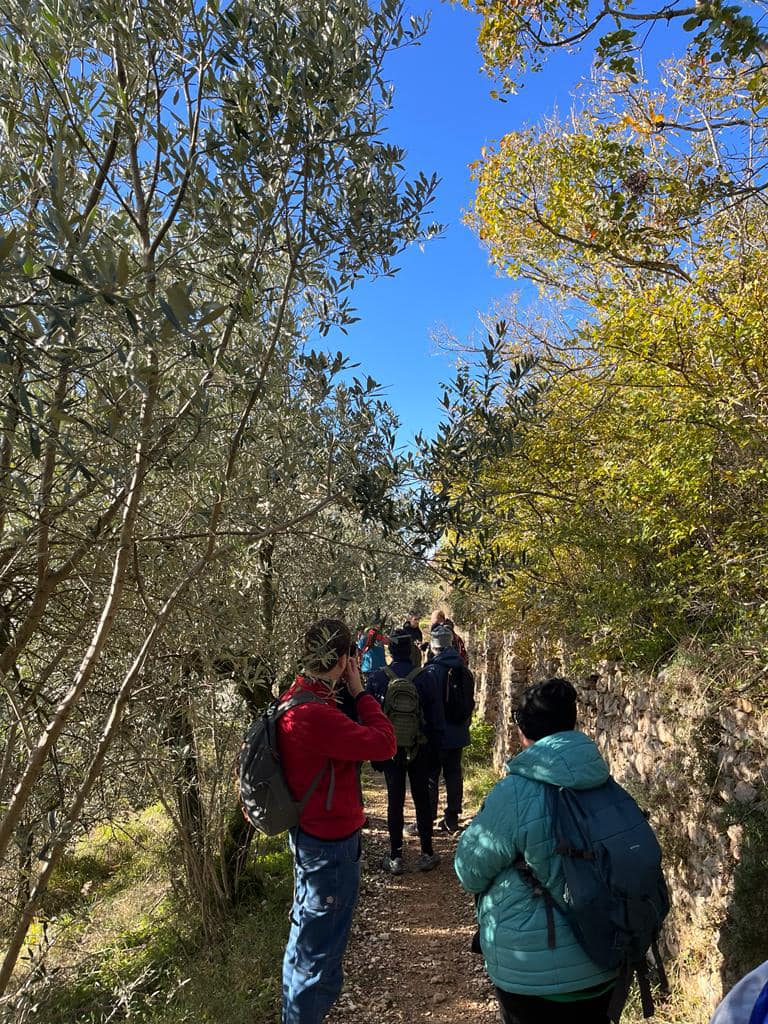
The route involves climbing the ancient route of the aqueduct (about 4500 m) which originates from the Fonte Canale spring located right below our first destination, the Collepino Castle. We start from the Poeta di Spello car park: crossing the road you enter via Bulgarella, which leads to the source of the same name; we continue along what is a stretch of the fifth stage of the Sentiero degli Ulivi – we are in fact immersed in the silvery Assisi-Spoleto Olivata Range, an agricultural heritage of global importance of the FAO – until we take the path on the right, that of the Roman Aqueduct ( CAI path 352).
The creation of this infrastructure can be attributed to the series of interventions in the Augustan age which saw Spello reorganised, becoming the most splendid Colonia Julia, with walls, monumentalised internal and suburban spaces and the territory divided into lots for agricultural exploitation. The aqueduct was abandoned for the first time in the early medieval period, no longer receiving the maintenance necessary for its functioning; it was then recovered in the municipal age, with the flourishing of the city and, with the demographic increase that followed, an expansion became necessary. The work, owned by the Municipality, remained in use until the 18th century (a plaque commemorating the restoration of 1787 is visible along the route), but during the 1800s, a series of problems related to the scope began to appear – aggravated from numerous losses – to pollution and infiltrations, which led to its replacement with a new aqueduct equipped with cast iron pipes (inaugurated in 1904) and its consequent abandonment.
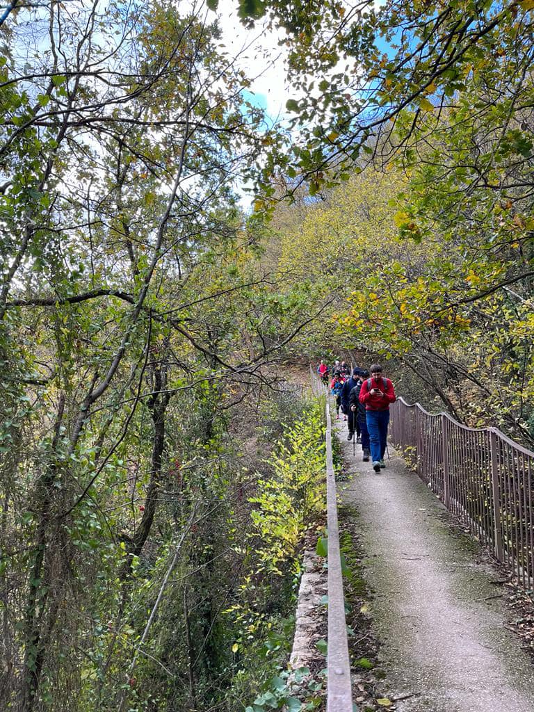
The almost 5 km of the fascinating Roman engineering work were only recovered in 2009 when, based on a project by the architect Stefano Antinucci, it was decided to use the route to create the path for hikers and bikers that we are currently following. Along it there are signs that instruct the visitor on the main points of interest: the Cliff, the Great Wall, the Great Window and so on, up to the suggestive Millenary Bench, obtained from a piece of the aqueduct, and the three arches created to overcome the difference in height of one of the many ditches that dot these slopes. Shortly after, a viewpoint allows us to admire Spello framed by olive trees, while on the Curva del Rosmarino, a rural house that has become a hermitage of the Fratel Carretto Jesus Caritas company, presents a shrine with the image of the Madonna degli Angeli.
We are about halfway along the journey towards Collepino and a change of… level awaits us. In fact, through an iron staircase, we find ourselves in the heart of the Grande Chiocciola, a suggestive stretch of aqueduct dug into the rock with a curious helical shape. We continue past several bridges also mentioned in 1600 by the Spello scholar and politician Fausto Gentile Donnola – Passasacco, 18 meters high, the Ponte delle Mole and the Ponte Corvara – and we finally reach the base of the promontory on which Collepino stands.
We go up a short but fairly steep climb and reach the gates of the castle, born as a colony of woodcutters and shepherds from the nearby Abbey of San Silvestro, thus also ensuring its protection from raids and looting. It is precisely towards the Benedictine Abbey of San Silvestro that we head, going up for about 400 meters along the Spello Provincial Road and then taking, on the left, path 352, recently renovated and equipped with forest bathing stations.
Tradition has it that the Abbey of San Silvestro was built in 1025 by San Romualdo, the founder of the Camaldolese order. In 1535 Paul III had it destroyed because some followers of the Baglioni family from Perugia, who were opposed to the papacy, had found refuge there. In 1969 Mother Maria Teresa of the Eucharist, founder of the Little Sisters of Mary, after discovering the small crumbling church of the ancient abbey, had the Hermitage of the Transfiguration built there, inaugurating it on 6 August 1972. The area, included in the regional park of Mount Subasio, undoubtedly combines contemplation and contact with nature.
For about a hundred meters we take the asphalt road again and then, keeping to the left, we follow path 352 which, continuing slightly uphill for about 1 km, will take us to the highest point of our route, located 771 m above sea level. We now descend towards Spello, gradually, enjoying the views of the city that this route offers us; having reached a crossroads of paths, we will take the Ulivi path towards Spello, following a wide track that will take us back to the Bulgarella source.
The route is simple in terms of altitude difference, terrain and level of maintenance, but is not recommended for people in wheelchairs or with reduced mobility due to some narrow passages and stairs.
ASD Trekkify
Latest posts by ASD Trekkify (see all)
- In the shadow of Collemancio Castle - April 24, 2025
- Suspended in the clouds: Monte Acuto - March 18, 2025
- In the shadow of the High Fortress of Dunarobba - February 25, 2025


