A route made of byroads, paths, riverbanks and perched villages. This is what the Greenway is about.

A pedestrian and cycle path has been created in the green heart of Valnerina, with the aim of letting people know and live these places which have been neglected far too long. It is a 180-kilometre ring dedicated to nature lovers. It is not too difficult nor too challenging and allows the wanderers to enjoy the landscape along the Nera River and its outfalls as well as the local cultural aspect, which can be appreciated while crossing the historical villages.
The Idea
The Greenway has been thought to promote Valnerina and the area belonging to the mountain community. However, there is more. It started, indeed, as a real environmental emergency, to preserve the landscape while exploiting its huge potential, but respecting its ecological balance at the same time. Thus, it has become a straightforward learning tool about nature and its articulate shapes, the place where a creative and engaging approach can be experimented to attract new forms of tourism and knowledge of the territory.
The routes
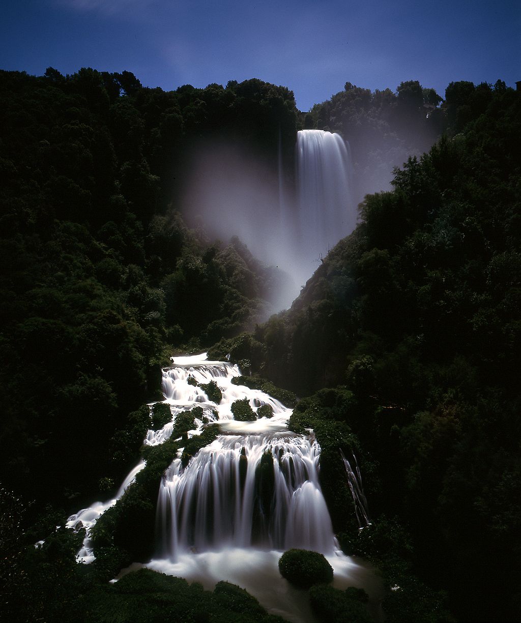
The first step to connect the visitor to the territory has been identifying and arranging an alternative route, which you can either walk or ride on a bike or a horse. The starting point is at Marmore Waterfall, which is also the arrival point. It is a ring completely immersed in greenery, which allows the tourist to enter an unchartered world made of green paths and enchanting villages. Thus, in a place beloved by Lord Byron and all the other travellers who revered the Grand Tour, you can set off on a long route partly formed by chartered paths: Benedectine trails, the Via Francigena, and the former Spoleto-Norcia railway.
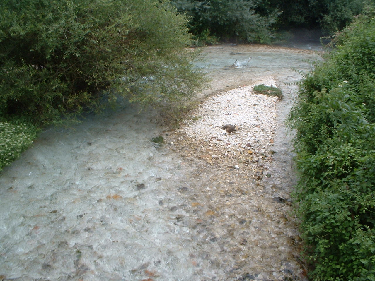
From the Marmore Falls to the fork to Preci it is possible to walk along the Nera. The left bank of the river is entirely viable and is one of the most interesting dirt roads of central Italy. From there it is possible to take a mountain trail which has been connected and which crosses Preci, Norcia, Cascia, Monteleone di Spoleto, Salto del Cieco, Piediluco, Prati di Stroncone and then goes back to the Waterfall going though Campacci di Marmore (The upper Belvedere).

As a ring, the Greenway can be followed one way or the other. As to make it accessible to anybody, it has been divided into sixteen stretches, each of them a ring itself, so that it is easier for the travellers to go back to the starting point without having to follow the same route. Many of the stretches along the river, from the Falls to Preci, are mostly flat even though the mountainous ones on the way back to the Fall can present quite challenging climbs. Yet, these can be avoided by choosing the alternative paved and low-traffic routes. Each of these routes is five to twenty-two kilometres long. By joining several trails, you can plan a journey any length you like. Each route, clearly indicated by signposts, goes through residential areas where public services are provided. Moreover, along the route all the paths that take to the protected natural areas are clearly signalled.
A trip for everybody
 The Greenway is a route accessible to everybody. It is completely safe as it is dedicated to non-motorised users and it grants access to anyone thanks to the so-called “soft-traffic”, which allows the tourists to enjoy the area they are crossing slowly as to observe the surrounding landscape in all its aspects.

Sitografia: http://www.lagreenwaydelnera.it/it
Alessandra Vittori
Latest posts by Alessandra Vittori (see all)
- Mummies’ house: the Museum of Ferentillo - May 22, 2018
- Benozzo Gozzoli, Master in Umbria - March 22, 2018
- Ghost Angelino’s House - January 11, 2018

